Hema 7 Page 48
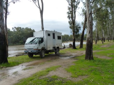
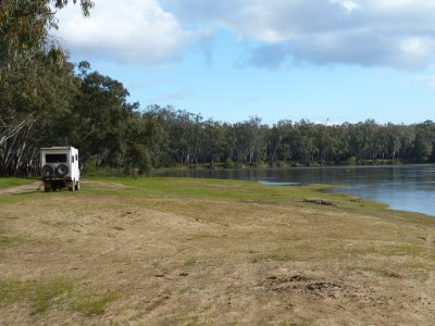
It was raining when we arrived at Grantham's Bend to camp. The river was rising at 100mm per day. We stuck sticks in the sand to measure it. We're just big kids at heart.
Stayed for 3 days. Our first real "rest days". Long overdue.
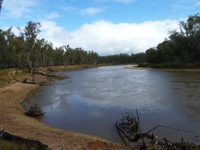
We were able to walk as far as our legs would take us along the river bank in either direction.
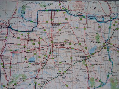
There are blue km posts showing the distance from the mouth (in South Australia). We are at 1960 km.
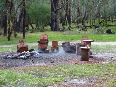
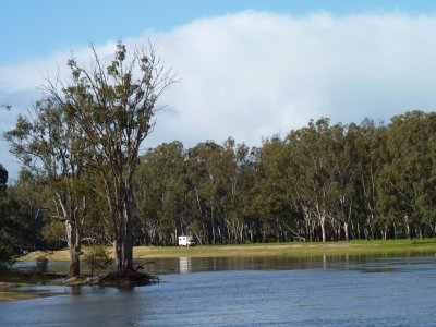
The fire is still burning. We think a couple of people in a canoe camped overnight - they paddled past us early in the morning.
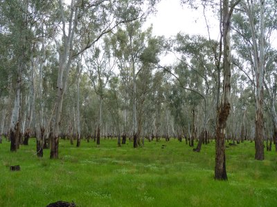
Big trees (River Red Gums) and small ground cover. We expected some undergrowth.
Perhaps the effect of drought, or the effect of grazing cattle, or .....
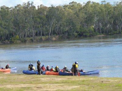
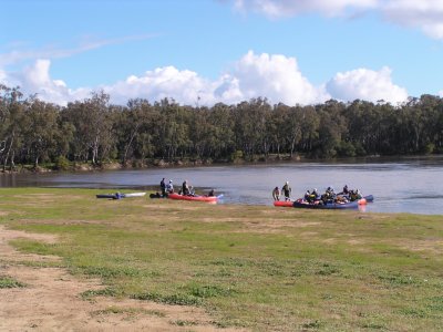
A school party setting out from Nevins Beach to Yarrawonga, about 5 days paddling.
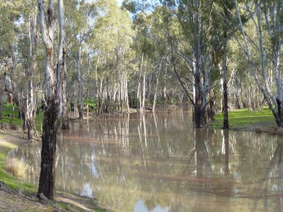
The red gums in Barmah Forest are reputedly the largest stand (or was that a stand of the largest). Either way, there were lots and they were big.
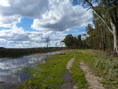
This is the nearest we got to the lake without getting our feet wet.
The forest has lots of dry watercourses, some in the process of filling, which carry water into lower lying areas beyond the banks of the Murray.
It seems a lot of these watercourses return to the Murray further downstream. When there's lots of water it seems to us like a braided river with floodplains rather than a single channel.